


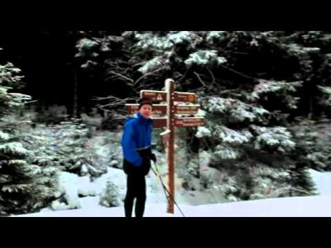
Start der Tour: B4 Oderbrück, Parkplatz Oderbrück Süd.
Die Achtermannrunde ist eine kurze Tour mit langen Anstiegen und Abfahrten. Sicheres Bremsen ist Voraussetzung, denn bei vereister Piste sind die langen Abfahrten schon eine kleine Herausforderung. Die ersten 4km der Tour verlaufen auf der Achtermann-Loipe, wobei Königskrug nicht direkt angefahren wird. Um die Tour zu verlängern, wird die Achtermann-Loipe verlassen und es geht weiter in Richtung Moosbrücke. Nach langem Anstieg wird der Dreieckige Pfahl erreicht und von hier verläuft die Loipe bergab zurück nach Oderbrück.
Mehr Informationen zum Skilanglaufen im Harz gibt es unter:
www.oberharz.de/langlauf.html#c1619
www.schierke-am-brocken.de/index.php/aktiv/wintersport/skilanglauf
Further information at
http://www.Schliesser-Bike.deTour gallery


Tour map and elevation profile
Minimum height 726 m
Maximum height 867 m
More about the tour author
|
|
mtb-tom |
Comments

Start der Tour: B4 Oderbrück, Parkplatz Oderbrück Süd
GPS tracks
Trackpoints-
GPX / Garmin Map Source (gpx) download
-
TCX / Garmin Training Center® (tcx) download
-
CRS / Garmin Training Center® (crs) download
-
Google Earth (kml) download
-
G7ToWin (g7t) download
-
TTQV (trk) download
-
Overlay (ovl) download
-
Fugawi (txt) download
-
Kompass (DAV) Track (tk) download
-
Track data sheet (pdf) download
-
Original file of the author (gpx) download
More about the tour author
|
|
mtb-tom |
Add to my favorites
Remove from my favorites
Edit tags
Open track
My score
Rate